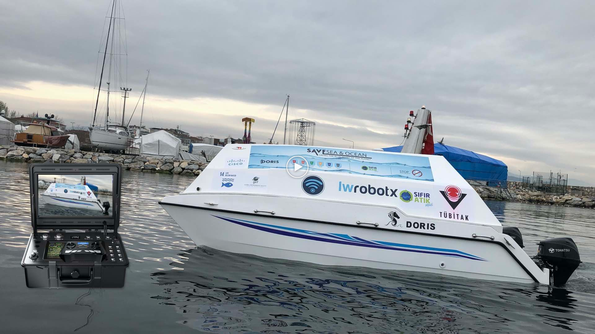
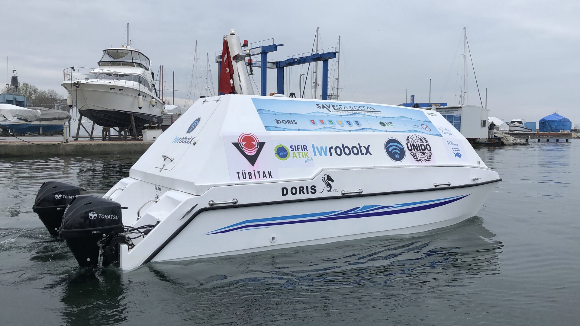
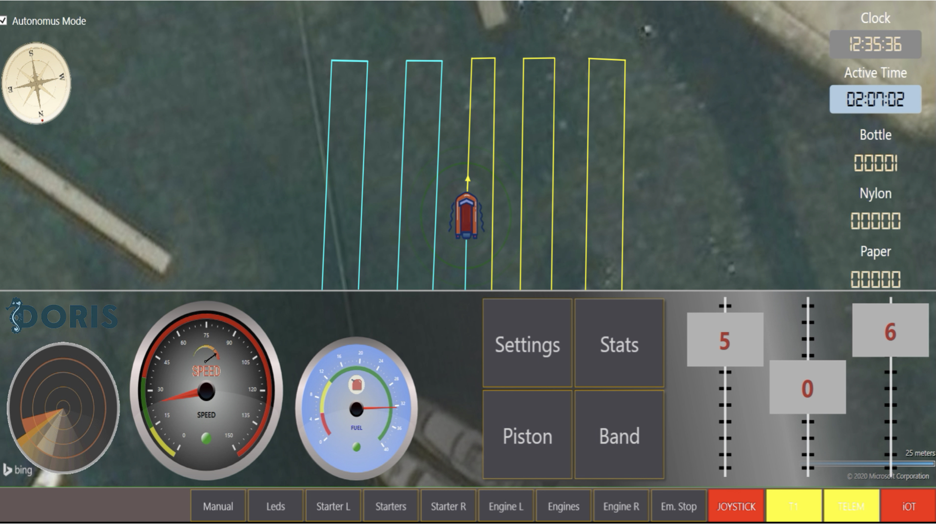
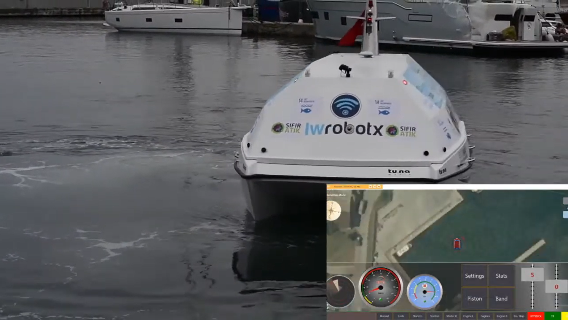
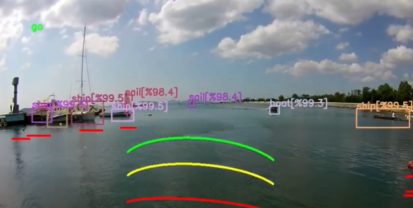
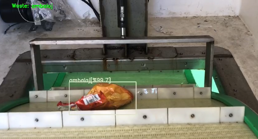
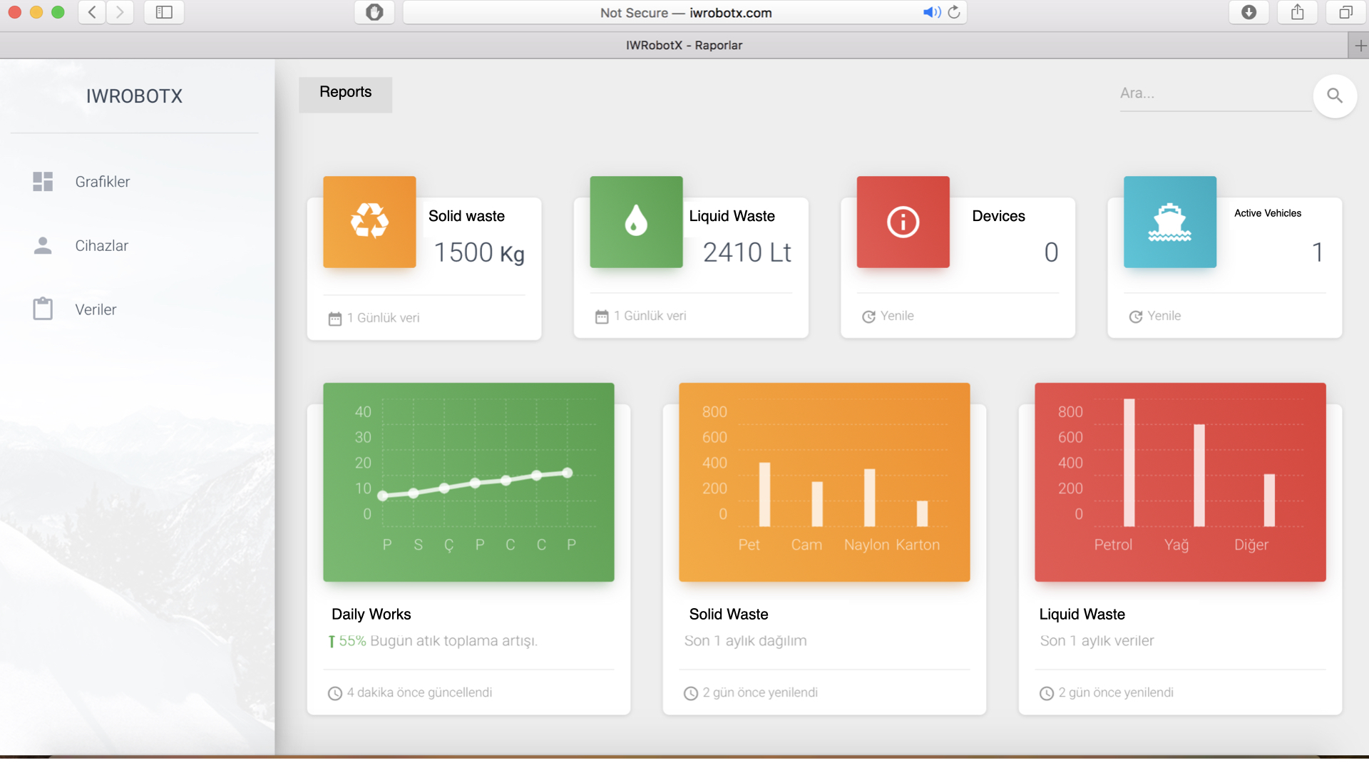
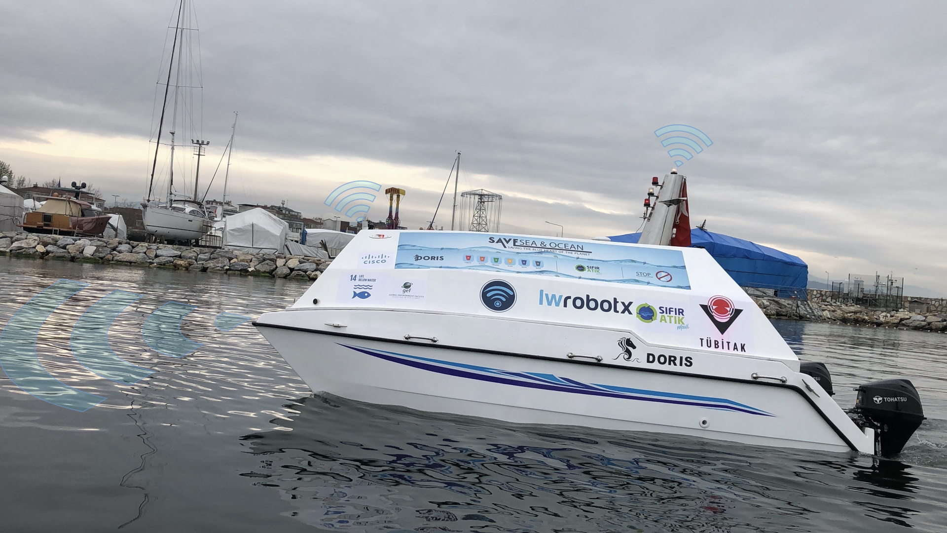
Doris recognizes the objects on the sea surface by using the cameras and sensors, categorizes them, collects wastes, transfers the collected data to the internet and prepares reports.
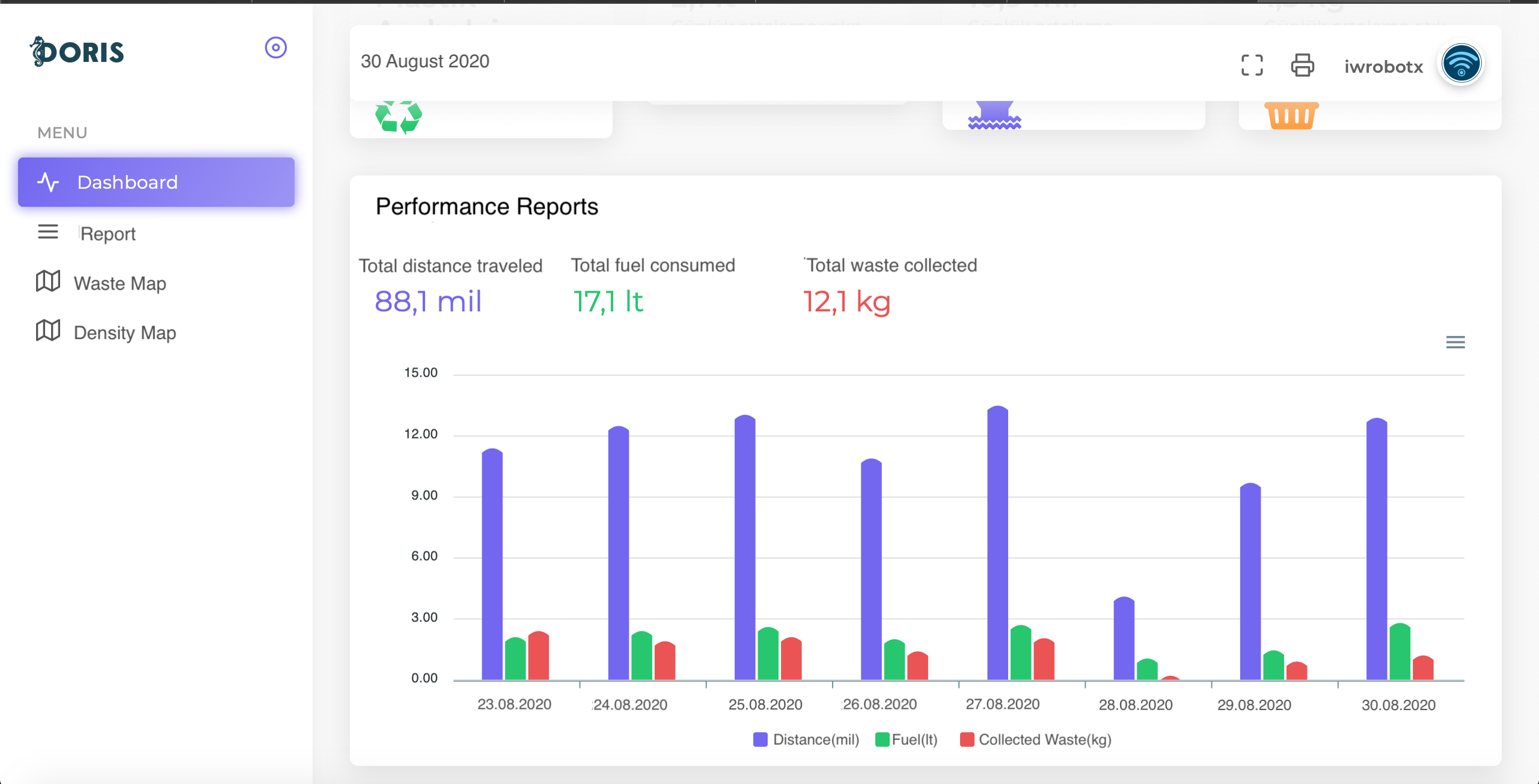
Doris uses AI based IP technology to identify waste on the surface of the sea. Can make waste map regarding the type of the collected waste from the surface of the water. Additionally, reports can be generated based on collected waste.
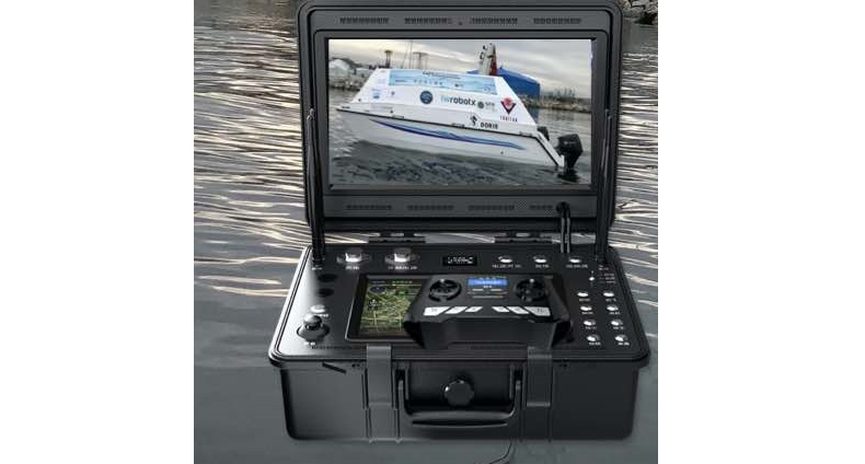
The operator can view the waste and direct Doris to collect the waste.
Remote control range is 10 km (Doris can be managed with DGS-10 and lower ground station modules)
There are sensors with a range of 10m on Doris.
Doris can be informed the waste she is collected.
Remote control range is 10 km (Doris can be managed with DGS-10 and lower ground station modules)
There are sensors with a range of 10m on Doris.
Doris can be informed the waste she is collected.

